
Ficheiro:Wolf-River-swamp-North-Mississippi.jpg

Dimensões desta antevisão: 799 × 310 píxeis. Outras resoluções: 320 × 124 píxeis | 640 × 248 píxeis | 1 024 × 397 píxeis | 1 280 × 497 píxeis | 2 981 × 1 157 píxeis.
Ficheiro original (2 981 × 1 157 píxeis, tamanho: 2,58 MB, tipo MIME: image/jpeg)
Descrição do ficheiro
| Descrição |
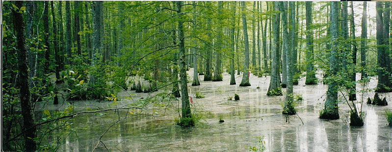
English: Bottomland hardwood swamp at the confluence of Tubby Creek and the Wolf River in the Holly Springs National Forest near Ashland, Mississippi.
|
| Data | |
| Origem | Obra do próprio |
| Autor | Gary Bridgman |
Licenciamento
Eu, titular dos direitos de autor desta obra, publico-a com a seguinte licença:

|
É concedida permissão para copiar, distribuir e/ou modificar este documento nos termos da Licença de Documentação Livre GNU, versão 1.2 ou qualquer versão posterior publicada pela Free Software Foundation; sem Secções Invariantes, sem textos de Capa e sem textos de Contra-Capa. É incluída uma cópia da licença na secção intitulada GNU Free Documentation License. |
| A utilização deste ficheiro é regulada nos termos da licença Creative Commons - Atribuição-CompartilhaIgual 3.0 Não Adaptada. | ||
| ||
| Esta marca de licenciamento foi adicionada a este ficheiro durante a atualização da licença GFDL. |
Histórico do ficheiro
Clique uma data e hora para ver o ficheiro tal como ele se encontrava nessa altura.
| Data e hora | Miniatura | Dimensões | Utilizador | Comentário | |
|---|---|---|---|---|---|
| atual | 18h30min de 4 de abril de 2007 | 2 981 × 1 157 (2,58 MB) | Bridgman | {{Information |Description=Bottomland hardwood swamp at the confluence of Tubby Creek and the Wolf River in the Holly Springs National Forest near Ashland, Mississippi. The ribbons were used for navigation purposes by members of the Wolf River Conservancy |
Utilização local do ficheiro
Não há nenhuma página que use este ficheiro.
Utilização global do ficheiro
As seguintes wikis usam este ficheiro:
- Uso no domínio ar.wikipedia.org
- Uso no domínio arz.wikipedia.org
- Uso no domínio ceb.wikipedia.org
- Uso no domínio cy.wikipedia.org
- Uso no domínio de.wikipedia.org
- Uso no domínio en.wikipedia.org
- Uso no domínio es.wikipedia.org
- Uso no domínio fi.wikipedia.org
- Uso no domínio fo.wikipedia.org
- Uso no domínio fr.wikipedia.org
- Uso no domínio fy.wikipedia.org
- Uso no domínio incubator.wikimedia.org
- Uso no domínio ja.wikipedia.org
- Uso no domínio sv.wikipedia.org
- Uso no domínio vi.wikipedia.org
- Uso no domínio www.wikidata.org